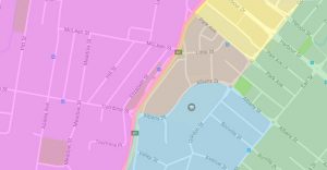
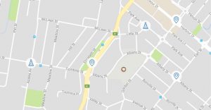
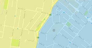
Council provides various online mapping services displaying important community information…spatially.
Planning schemes use overlays to show the location and extent of special features that need to be considered, such as where land may be subject to hazards or other characteristics. Overlay maps may apply to all or part of your property and your property may be affected by more than one overlay. Having an overlay on your property will only affect you if you intend to develop (i.e. extent or build, change use, subdivide, clear native vegetation, fill or excavate).